
Where every trail leads to discovery and every summit tells a story.
 - Copy.jpeg)
Where the journey is as breathtaking as the destination.

And in return, let them conquer your soul.
Naitwar, a typical Rawain settlement, sprawling on
the either sides of the river Tons, serves as the entry point for the Sanctuary and National
park. This place is well connected by road with Dehradun, Rishikesh, Chakrata and Uttarakashi.
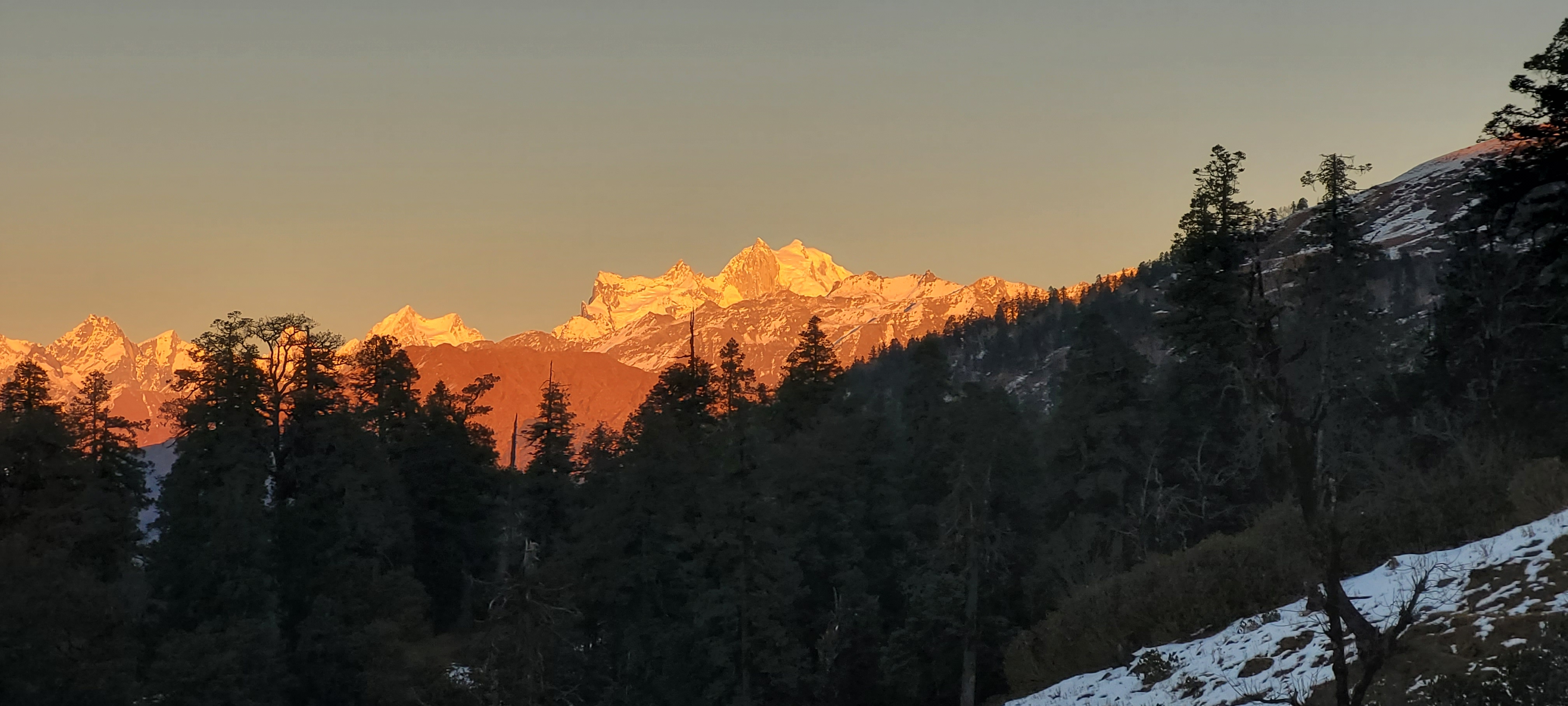
Most spectacular, popular, and convenient trek to the P.A., is the one from Shankri to
Hari-ki-dun, that presents a complete overview on the P.A., environment. The trek passes across
cultural focals, agricultural areas and densely forested tracts with rich wildlife, rivers and
mountain streams and waterfalls, to finally terminate into the vast and beautiful Hari-ki-dun
meadow which makes a buffer zone between the timberline and the perpetually snow bound area.
Those interested in high Himalayan environment, can further extend their ‘trekking’ from
Har-ki-dun to many destinations like, Sangla Valley, Harshil, Kharasali-Yamunotri, Barkot etc.
In each case, it involves crossing over of one or the other high pass. Besides Hata Peak, Black
Peak, Swargarohini, and Banderpunch can also be conveniently approached from here. Yet another
area of major tourist interest is Jakhol- Bhararsar environ. Geo-morphologically, the P.A., area
falls exclusively within the middle and great Himalayan zone of Garhwal. The terrain is highly
rugged and mountainous, widely intersected by rivers, streams and seasonal nallahs. The Supin
and Rupin are the two prominent river systems which meet at Naitwar to form the Tons-the main
tributary of the Yammuna. The P.A. is also widely criss- crossed by a series of large and small
ridges, of which three are prominent. Incidentally, all the three ridges originate from
Dhauladhar range. One separates the watersheds of the Rupin and the Supin. The other divides the
watersheds of the Supin and the Panchgain river. The third one moves in south- easterly
direction to Banderpunch through Swargarohini and then turns towards easterly direction reaching
upto kedarkantha. Its southern part separates the catchment of the Tons with the Yammuna. Two
other ridges originate from Changsil, one going towards kotigad and the other moving in south
eastern direction to ultimately descend down at Naitwar. Altitude wise, Naitwar and Banderpunch,
with a height of 1410 mt. and 6317mt, respectively, are the lowest and highest points within the
P.A. Broadly speaking, the higher zones of this reserve are under perpetual snows, are are
occupied by block mountains, glaciers, moraines, and sloping or undulating meadows. Lower
reaches are dominated by dense forests-mainly coniferous in nature, with occasional stretches of
unproductive
The gentler warmer aspects in the temperate belt of this tract have either been converted into
agriculture and habitation or transformed into secondary scrubs, anthropogenic grasslands owing
to removal of forests. The sub-alpine forests in the area have undergone maximum degradation and
fragmentation due to anthropogenic activities such as collection of non-timber forest produce
such as bamboo, medicinal and aromatic plants (until recently, before the sanctuary rules were
made more strict), livestock grazing and camping by the shepherds. Grazing and trampling of
saplings by livestock is the biggest threat to regeneration of vegetation in the entire tract.
To meet the fodder demand systematic lopping of various broadleaved tree species, especially
moru and Kharsu oaks is done during winter and spring seasons. Owing to high seasonality and low
primary productivity, the area supports relatively low ungulatet herbivore biomass. Furthermore,
with the increase in the biomass of domestic livestock and resultant degradation of habitat the
wild ungulates have suffered competitive exclusion. Uncontrolled fires have caused tremendous
damage to the biodiversity of the area. The migratory herders and local people deliberately set
fire on the mountain slopes to maximize the growth of grasses. The hill slopes are generally
burnt during two seasons- one during winter when shepherds descend from the higher altitudes and
second during May-June which is much more damaging. Recurrent fire in the area has led to
preponderance of grassy slopes and scattered pine while broadleaf species such as oaks have
vanished. Other impacts of fire in the area include: change in species composition, loss of
micro-flora and fauna, loss of regeneration of fire sensitive species, loss of birds, reptile
eggs and young ones and loss of insects due to break in their life cycles, soil erosion
resulting in landslides and invasion by alien invasive species such as Eupatorium adenophorum,
soil desiccation and increased run-off and loss of primary productivity.
Chronic stress in the habitat leads to decline in primary productivity and failure of
regeneration of various timer and multi- purpose. There are frequent cases of wild animals
(e.g., Himalayan black bear, porcupine, wild pigs, langur and macaques) getting into villages to
raid orchards and food crops. This is largely due to lack of adequate natural food available to
these wild animals in the forests. There have been increasing complaints about crop damage by
wild animals by the local communities. By and large it can be assuemed that habitat has
considerably deteriorated by acute biotic pressure imposed by the local communities.
Govind Wildlife Sanctuary & National Park
Uttarkashi, Uttarakhand
248140
Govind Wildlife Sanctuary & National Park
Uttarkashi, Uttarakhand
248140
Govind Wildlife Sanctuary & National Park
Uttarkashi, Uttarakhand
248140